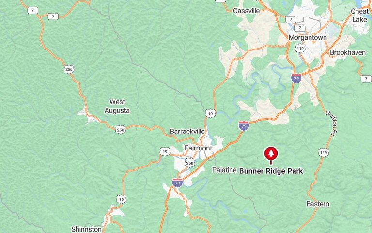
FAIRMONT – A number of trees were damaged and felled when a tornado briefly touched down in the Bunner’s Ridge area near Fairmont on Monday evening, authorities said.
Chris McIntire, who directs 911 services for the county, said the tornado was reported around 6:10 p.m. after the National Weather Service issued a warning — as clouds roiled in and rain began to fall over Fairmont and across Marion County.
“That’s why you want to heed those warnings,” McIntire said. “They’re for your safety.”
At the National Weather Service in Pittsburgh, meteorologist Bill Modzelewski said the tornado was rated an EF-0 on the Enhanced Fujita Scale that rates the severity of such climate events.
This most recent tornado carried 80 mph winds, Modzelewski said, meaning it was the weakest of the lot.
A storm survey team was finishing up in the area on Tuesday, he said.
The team looks at the direction of downed trees, the forecaster said, along with the severity of the twists and snaps as branches are contorted and buffeted by the winds.
“And they’ll talk to people,” he said, “about how the clouds were going and if they saw an actual funnel.”
Reports of another touch-down on Speedway Avenue on the city’s East Side were unconfirmed, Modzelewski said.
“They’re finishing up now,” he said Tuesday afternoon of the storm team and its work. Look for a full report on Wednesday, he said.
Expect patchy fog in the morning Wednesday, he said, followed by mostly sunny skies and a high of 77.
Threatening weather, with thunderstorms and a high of 81 expected, could again roll in Thursday, the forecaster said.
Look for the weather to persist Thursday evening into Friday and Saturday, Modzelewski said.
Sunday is currently promising partly sunny skies with a high of 84, he said.
