Newsroom@DominionPostWV
CHARLESTON — The West Virginia Department of Environmental Protection partnered with the U.S. Fish and Wildlife Service’s National Wetlands Inventory to complete new wetland maps covering 2.8 million acres across eight counties in West Virginia.
The mapping project, which targeted some of the state’s most critical wetland habitats, is illustrated in a story map in honor of May being American Wetlands Month.
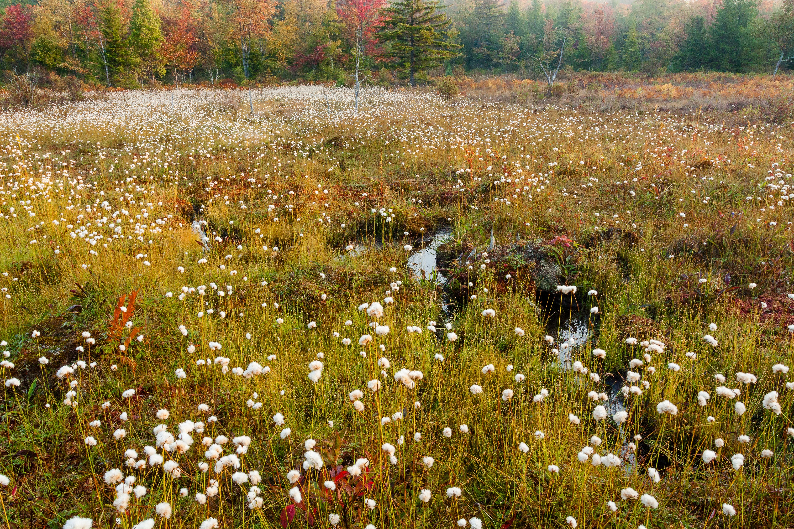
Wetlands are some of the most productive ecosystems in the world — comparable to rain forests and coral reefs. They provide a multitude of ecological, economic and social benefits, including habitat for fish, wildlife and plants. They are nurseries for fish of commercial and recreational importance and provide a home and breeding ground for 40% of the world’s species.
The foundation of the nation’s water supply, wetlands are vital to the health of communities and perform ecosystem functions, including water purification, shore stabilization, floodwater retention and groundwater recharge. West Virginia is home to numerous types of wetlands, such as swamps, fens, marshes and vernal pools.
Wetlands were historically misunderstood and often viewed as wastelands to be drained and converted to other uses. Agriculture, construction and extractive industries led to many wetlands being filled or destroyed. Additional stresses include pollution, habitat degradation, climate change, artificial drainage and invasive species.
More than half of America’s wetlands have been lost since 1780, and wetland losses continue today. In West Virginia, where level land is at a premium, 80%-90% of wetlands are lost. Learn more about West Virginia wetlands and how to help to protect them at: https://dep.wv.gov/WWE/getinvolved/sos/Pages/Wetstudyguide.aspx
TWEET @DominionPostWV


