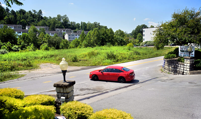
MORGANTOWN — A little over 2.5 acres of open ground along a densely populated stretch of West Run Road dominated Wednesday’s meeting of the Monongalia County Planning Commission.
After more than two hours of discussion, deliberation and public comment, the body voted 4-3 to approve the development of significant impact (DSI) site plan for a project to construct two four-story apartment complexes on the open parcels directly across from the Mallard Run Road entrance to The Villages at West Run.
Based on the submitted plans, the development will consist of two buildings – Mallard Greene and Mallard Terrace. Mallard Greene will house 36 two-bedroom apartments while Mallard Terrace will hold 40 one-bedroom units.
This is well below what’s allowable on the site. In the West Run High Density Residential District (R-4), up to 20 structures with 205 beds could be built on the 2.563 acres in question.
While the commission’s approval came with conditions tied to parking, setbacks and allowances from the fire marshal, Monongalia County Planning Director Andrew Gast-Bray explained the real sticking point came down to traffic and West Run Road.
On that front, the issue is complicated for a number of reasons.
One, West Run Road is basically a winding, narrow country road already failing in the face of traffic pressure it was never designed to handle. While improvements are coming – the West Virginia Division of Highways is currently at work on the eastern segment between Stewartstown Road and Point Marion Road – it’s unclear exactly what the improvements to the longer western stretch will look like.
Two, the project isn’t being built in a vacuum. That brief stretch of West Run – about .75 miles between Westpoint Townhomes and Van Voorhis Road – is already bracketed by a series of apartment, townhouse and condo developments.
Further, it’s already known that a DSI application is in process from another housing project planned for the parcel directly across from the West Run intersection with Riddle Avenue – less than 400 feet from the Mallard development before the MCPC.
“Traffic analysis would not normally be required for a project of this size,” the commission’s meeting packet explained, but “In the opinion of the Director of Planning, because this development is on a substandard road that DOH wishes to be brought up to ‘acceptability’ AND that this development is adding to the load on this substandard road along with another proposed development less than 370 feet from the property, a traffic study was strongly recommended to address these considerations. The applicant cooperated fully with this request.”
The 500+ page study performed by HRG looked at possible traffic improvements to address the impacts of both pending developments. Specifically, it looked at improvements for St. Clair Hill Road and its alignment with West Run Road, as well as a new connector between West Run and Bakers Ridge roads.
However, the results of the traffic study indicated the proposed improvements would not provide a demonstrable benefit. Further, it said the added peak hour trips represented by the two developments – 58 (Mallard) and 67 (unnamed) – were insufficient to trigger mandatory requirements from the DOH.
In other words, “there was no easy, clearcut and reasonable improvement” that could be presented to the developer as a condition of approval.
Ultimately, one of the conditions included in the Mallard Green DSI site plan approval requires the developer to demonstrate the reservation of a right of way along the rear of the property that could accommodate a future multiuse path – or green belt – currently being explored by various stakeholders.
Further, the developer offered to provide a bus stop pad adjacent to West Run Road.
